 vesseltracker.com
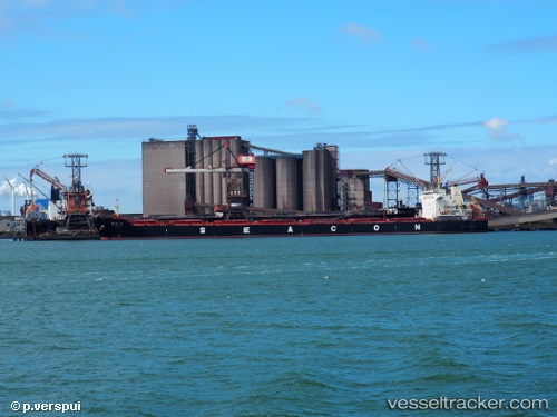
 OCEAN LORRY
Current Status
Where is the vessel?
OCEAN LORRY is currently in 392 nm W of Georgetown, based on AIS data received about 1h ago.
Latest AIS update:
Current position: 9.49500° S, 20.83000° W (392 nm W of Georgetown)
Average speed (last 7 days): Loading…
Average speed (last 30 days): Loading…
Vessel profile: OCEAN LORRY is a Cargo with dimensions m x m.
This page combines live AIS, route history, probable destination signals, nearby traffic, and port activity for practical vessel monitoring.
The current position of vessel OCEAN LORRY is -9.49500 lat / -20.83000 lng. Updated: 2026-05-14 10:15:21 UTCNearest reference points:
- Open sea, approx. 400 nm off the nearest listed port
- Open sea, approx. 401 nm off the nearest listed port
- Open sea, approx. 404 nm off the nearest listed port
Currently sailing under the flag of Liberia ![]()
Details:
Live Vessel OCEAN LORRY Analytics (details, animations, etc.)
Recent AIS points (UTC):
2026-05-14 07:36:20 UTC · -9.23167, -21.20500 · SOG 10 kn · COG -1°2026-05-14 08:03:20 UTC · -9.27500, -21.14167 · SOG 10 kn · COG -1°
2026-05-14 10:12:20 UTC · -9.49167, -20.83667 · SOG 10 kn · COG -1°
2026-05-14 10:15:21 UTC · -9.49500, -20.83000 · SOG 10 kn · COG -1°