 vesseltracker.com
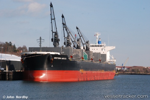
 VIRGO
VIRGO
Current Status
Where is the vessel?
VIRGO is currently in 52 nm NE of Bañaderos, based on AIS data received less than 1h ago.
Latest AIS update:
Current position: 29.37292° N, 14.81612° W (52 nm NE of Bañaderos)
Average speed (last 7 days): Loading…
Average speed (last 30 days): Loading…
Vessel profile: VIRGO is a Bulk Carrier with dimensions m x m.
This page combines live AIS, route history, probable destination signals, nearby traffic, and port activity for practical vessel monitoring.
The current position of vessel VIRGO is 29.37292 lat / -14.81612 lng. Updated: 2026-05-14 22:51:11 UTCNearest reference points:
- 56 nm NW of Caleta de Sebo
- Near LAS COLORADAS
- 58 nm N of Caleta de Sebo
Currently sailing under the flag of Marshall Islands ![]()
Details:
Live Vessel VIRGO Analytics (details, animations, etc.)
Recent AIS points (UTC):
2026-05-14 19:00:22 UTC · 29.85325, -14.17548 · SOG 11.2 kn · COG 230°2026-05-14 19:42:59 UTC · 29.76320, -14.28805 · SOG 11.3 kn · COG 232°
2026-05-14 22:22:19 UTC · 29.43437, -14.73536 · SOG 11.7 kn · COG 230°
2026-05-14 22:51:11 UTC · 29.37292, -14.81612 · SOG 11.7 kn · COG 230°