 vesseltracker.com
 ADS ARENDAL
Current Status
Where is the vessel?
ADS ARENDAL is currently in 205 nm SW of Port Etienne, based on AIS data received less than 1h ago.
Latest AIS update:
Current position: 19.05022° N, 20.25906° W (205 nm SW of Port Etienne)
Average speed (last 7 days): Loading…
Average speed (last 30 days): Loading…
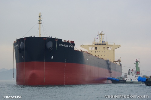
Vessel profile: ADS ARENDAL is a Bulk Carrier with dimensions m x m.
This page combines live AIS, route history, probable destination signals, nearby traffic, and port activity for practical vessel monitoring.
The current position of vessel ADS ARENDAL is 19.05022 lat / -20.25906 lng. Updated: 2026-05-14 05:51:04 UTCNearest reference points:
- 176 nm NE of Ilha do Sal
- 119 nm W of Nouakchott
- 108 nm SW of Port Etienne
Currently sailing under the flag of Marshall Islands ![]()
Details:
Live Vessel ADS ARENDAL Analytics (details, animations, etc.)
Recent AIS points (UTC):
2026-05-14 02:03:14 UTC · 18.38771, -20.25072 · SOG 10.4 kn · COG 3°2026-05-14 04:10:34 UTC · 18.75832, -20.24911 · SOG 10.3 kn · COG 1°
2026-05-14 04:20:04 UTC · 18.78559, -20.24948 · SOG 10.2 kn · COG 1°
2026-05-14 05:51:04 UTC · 19.05022, -20.25906 · SOG 10.5 kn · COG 0°