 vesseltracker.com
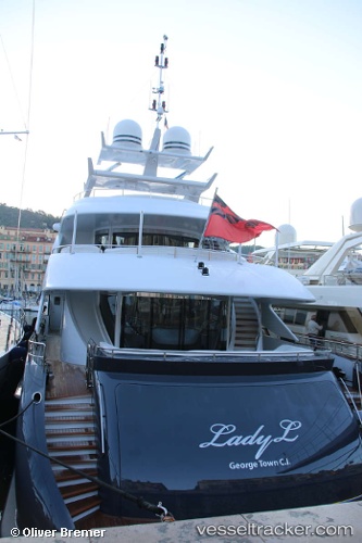
 Lady L
Current Status
Where is the vessel?
Lady L is currently in 58 nm SW of Punta Baja, based on AIS data received less than 1h ago.
Latest AIS update:
Current position: 29.10569° N, 116.33767° W (58 nm SW of Punta Baja)
Average speed (last 7 days): Loading…
Average speed (last 30 days): Loading…
Vessel profile: Lady L is a Service Ship with dimensions 44m x 9m.
This page combines live AIS, route history, probable destination signals, nearby traffic, and port activity for practical vessel monitoring.
The current position of vessel Lady L is 29.10569 lat / -116.33767 lng. Updated: 2026-05-13 23:57:07 UTCNearest reference points:
- 32 nm NW of Punta Baja
Currently sailing under the flag of Cayman Is ![]()
Lady L built in 2012 year
Deadweight:
115 tDetails:
Live Vessel Lady L Analytics (details, animations, etc.)
Recent AIS points (UTC):
2026-05-13 19:16:10 UTC · 30.11483, -116.75261 · SOG 13.6 kn · COG 158°2026-05-13 22:24:11 UTC · 29.44297, -116.47569 · SOG 13.4 kn · COG -1°
2026-05-13 22:25:52 UTC · 29.43680, -116.47314 · SOG 13.7 kn · COG -1°
2026-05-13 23:57:07 UTC · 29.10569, -116.33767 · SOG 13.8 kn · COG -1°