 vesseltracker.com
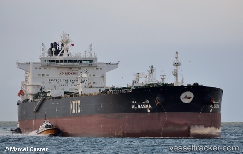
Al Dasma
Current StatusWhere is the vessel?
Al Dasma is currently in 14 nm E of Fateh Terminal, based on AIS data received about 25d ago.
Latest AIS update:
Current position: 25.54110° N, 54.75762° E (14 nm E of Fateh Terminal)
Average speed (last 7 days): Loading…
Average speed (last 30 days): Loading…
Vessel profile: Al Dasma is a Crude Oil Tanker with dimensions 42m x 250m.
This page combines live AIS, route history, probable destination signals, nearby traffic, and port activity for practical vessel monitoring.
The current position of vessel Al Dasma is 25.54110 lat / 54.75762 lng. Updated: 2026-04-18 05:48:20 UTCNearest reference points:
- 17 nm NW of Free Port
- 11 nm SW of Fateh Terminal
- 16 nm NW of Jebel Ali
Details:
Live Vessel Al Dasma Analytics (details, animations, etc.)
Recent AIS points (UTC):
2026-04-18 05:48:20 UTC · 25.54110, 54.75762 · SOG 0 kn · COG 275°