 vesseltracker.com
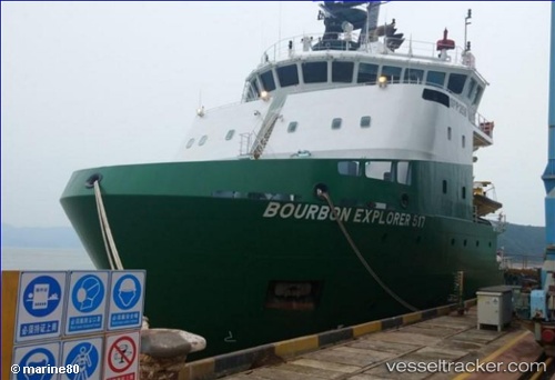
Bourbon Explorer 517
Current StatusWhere is the vessel?
Bourbon Explorer 517 is currently in 21 nm W of CLOV FPSO, based on AIS data received about 1h ago.
Latest AIS update:
Current position: 7.51374° S, 11.22057° E (21 nm W of CLOV FPSO)
Average speed (last 7 days): Loading…
Average speed (last 30 days): Loading…
Vessel profile: Bourbon Explorer 517 is a Offshore Tug Supply Ship with dimensions 17m x 78m.
This page combines live AIS, route history, probable destination signals, nearby traffic, and port activity for practical vessel monitoring.
The current position of vessel Bourbon Explorer 517 is -7.51374 lat / 11.22057 lng. Updated: 2026-05-14 20:03:05 UTCNearest reference points:
- Near Greater Plutonio
- Near SOYO
- 11 nm W of Cabinda
Details:
Live Vessel Bourbon Explorer 517 Analytics (details, animations, etc.)
Recent AIS points (UTC):
2026-05-14 16:16:40 UTC · -7.49986, 11.24442 · SOG 0.6 kn · COG 203°2026-05-14 17:21:09 UTC · -7.48500, 11.23667 · SOG 5 kn · COG -1°
2026-05-14 19:43:23 UTC · -7.51372, 11.22058 · SOG 0.4 kn · COG 55°
2026-05-14 20:03:05 UTC · -7.51374, 11.22057 · SOG 0.3 kn · COG 52°