 vesseltracker.com
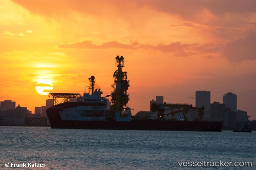
 SAPURA TOPAZIO
Current Status
Where is the vessel?
SAPURA TOPAZIO is currently in 49 nm NE of Cidade de Angra dos Reis FPSO, based on AIS data received less than 1h ago.
Latest AIS update:
Current position: 24.79775° S, 42.46305° W (49 nm NE of Cidade de Angra dos Reis FPSO)
Average speed (last 7 days): Loading…
Average speed (last 30 days): Loading…
Vessel profile: SAPURA TOPAZIO is a Pipe Layer with dimensions m x m.
This page combines live AIS, route history, probable destination signals, nearby traffic, and port activity for practical vessel monitoring.
The current position of vessel SAPURA TOPAZIO is -24.79775 lat / -42.46305 lng. Updated: 2026-05-18 00:53:50 UTCNearest reference points:
- 69 nm NE of Cidade de Angra dos Reis FPSO
- 34 nm S of Cidade de Angra dos Reis FPSO
- 49 nm S of SEPETIBA
Currently sailing under the flag of Panama ![]()
Details:
Live Vessel SAPURA TOPAZIO Analytics (details, animations, etc.)
Recent AIS points (UTC):
2026-05-17 21:36:48 UTC · -24.79776, -42.46691 · SOG 0.1 kn · COG 11°2026-05-17 22:34:07 UTC · -24.79775, -42.46561 · SOG 0.3 kn · COG 10°
2026-05-18 00:18:47 UTC · -24.79773, -42.46251 · SOG 0.2 kn · COG 10°
2026-05-18 00:53:50 UTC · -24.79775, -42.46305 · SOG 0.1 kn · COG 10°