 vesseltracker.com
 SANTA MARIA
Current Status
Where is the vessel?
SANTA MARIA is currently in 24 nm NW of Bonga, based on AIS data received about 1h ago.
Latest AIS update:
Current position: 4.89167° N, 4.54333° E (24 nm NW of Bonga)
Average speed (last 7 days): Loading…
Average speed (last 30 days): Loading…
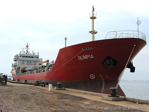
Vessel profile: SANTA MARIA is a Oil Products Tanker with dimensions 14m x 89m.
This page combines live AIS, route history, probable destination signals, nearby traffic, and port activity for practical vessel monitoring.
The current position of vessel SANTA MARIA is 4.89167 lat / 4.54333 lng. Updated: 2026-05-14 17:22:09 UTCNearest reference points:
- Near Escravos
- Near WARRI
- Near Apapa
Currently sailing under the flag of Nigeria ![]()
SANTA MARIA built in 2012 year
Deadweight:
3571 tDetails:
Live Vessel SANTA MARIA Analytics (details, animations, etc.)
Recent AIS points (UTC):
2026-05-14 14:07:40 UTC · 4.66348, 4.79208 · SOG 5.9 kn · COG 303°2026-05-14 16:07:12 UTC · 4.80333, 4.63833 · SOG 6 kn · COG -1°
2026-05-14 16:19:11 UTC · 4.81833, 4.62333 · SOG 6 kn · COG -1°
2026-05-14 17:22:09 UTC · 4.89167, 4.54333 · SOG 5 kn · COG -1°