 vesseltracker.com
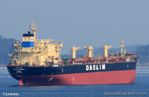
 DL LAVENDER
Current Status
Where is the vessel?
DL LAVENDER is currently in 15 nm SE of ZHOUSHAN, based on AIS data received about 1h ago.
Latest AIS update:
Current position: 29.77306° N, 122.36658° E (15 nm SE of ZHOUSHAN)
Average speed (last 7 days): Loading…
Average speed (last 30 days): Loading…
Vessel profile: DL LAVENDER is a Bulk Carrier with dimensions 30m x 180m.
This page combines live AIS, route history, probable destination signals, nearby traffic, and port activity for practical vessel monitoring.
The current position of vessel DL LAVENDER is 29.77306 lat / 122.36658 lng. Updated: 2026-04-27 14:12:51 UTCNearest reference points:
- 12 nm SE of ZHOUSHAN
- 16 nm SE of ZHOUSHAN
- Near ZHOUSHAN
Currently sailing under the flag of Liberia ![]()
DL LAVENDER built in 2014 year
Deadweight:
35194 tDetails:
Live Vessel DL LAVENDER Analytics (details, animations, etc.)
Recent AIS points (UTC):
2026-04-27 10:08:35 UTC · 29.83540, 122.70170 · SOG 6.8 kn · COG 250°2026-04-27 10:26:56 UTC · 29.82954, 122.66384 · SOG 6.3 kn · COG 255°
2026-04-27 11:25:34 UTC · 29.78726, 122.49061 · SOG 10.7 kn · COG 246°
2026-04-27 14:12:51 UTC · 29.77306, 122.36658 · SOG 0.2 kn · COG 232°