 vesseltracker.com
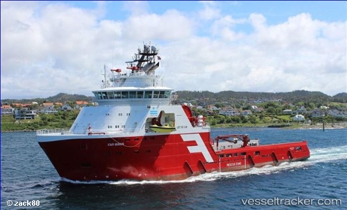
 NORMAND SIRIUS
Current Status
Where is the vessel?
NORMAND SIRIUS is currently in 17 nm E of Fluminense FPSO, based on AIS data received less than 1h ago.
Latest AIS update:
Current position: 22.56457° S, 40.13095° W (17 nm E of Fluminense FPSO)
Average speed (last 7 days): Loading…
Average speed (last 30 days): Loading…
Vessel profile: NORMAND SIRIUS is a Anchor Handling Vessel with dimensions m x m.
This page combines live AIS, route history, probable destination signals, nearby traffic, and port activity for practical vessel monitoring.
The current position of vessel NORMAND SIRIUS is -22.56457 lat / -40.13095 lng. Updated: 2026-05-16 08:01:58 UTCNearest reference points:
- Near Fluminense FPSO
- Near PORTO DO ACU
- 24 nm SE of Carapebus
Details:
Live Vessel NORMAND SIRIUS Analytics (details, animations, etc.)
Recent AIS points (UTC):
2026-05-16 04:37:35 UTC · -22.56082, -40.13181 · SOG 0.8 kn · COG 263°2026-05-16 06:13:55 UTC · -22.56082, -40.13182 · SOG 0.8 kn · COG 262°
2026-05-16 07:36:10 UTC · -22.56359, -40.13134 · SOG 1 kn · COG 209°
2026-05-16 08:01:58 UTC · -22.56457, -40.13095 · SOG 1.1 kn · COG 226°