 vesseltracker.com
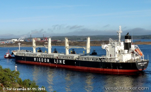
 AMERICA PEARL
Current Status
Where is the vessel?
AMERICA PEARL is currently in 69 nm E of Cozumel, based on AIS data received about 1h ago.
Latest AIS update:
Current position: 20.07569° N, 85.79847° W (69 nm E of Cozumel)
Average speed (last 7 days): Loading…
Average speed (last 30 days): Loading…
Vessel profile: AMERICA PEARL is a Cargo with dimensions m x m.
This page combines live AIS, route history, probable destination signals, nearby traffic, and port activity for practical vessel monitoring.
The current position of vessel AMERICA PEARL is 20.07569 lat / -85.79847 lng. Updated: 2026-05-13 22:28:14 UTCNearest reference points:
- Near Puerto Juárez
- 58 nm S of San Julian
Currently sailing under the flag of Bahamas ![]()
Details:
Live Vessel AMERICA PEARL Analytics (details, animations, etc.)
Recent AIS points (UTC):
2026-05-13 17:43:38 UTC · 20.80995, -85.60750 · SOG 10.7 kn · COG 176°2026-05-13 17:43:38 UTC · 20.80995, -85.60750 · SOG 10.7 kn · COG 176°
2026-05-13 20:08:51 UTC · 20.41755, -85.62505 · SOG 9.6 kn · COG 204°
2026-05-13 22:28:14 UTC · 20.07569, -85.79847 · SOG 10 kn · COG 210°