 vesseltracker.com
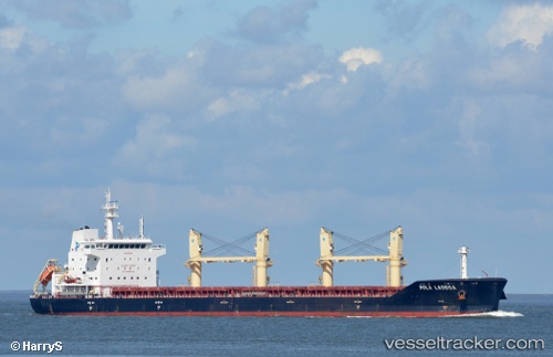
 WL LADOGA
Current Status
Where is the vessel?
WL LADOGA is currently in Near Puerto Cabello, based on AIS data received less than 1h ago.
Latest AIS update:
Current position: 10.46987° N, 67.99720° W (Near Puerto Cabello)
Average speed (last 7 days): Loading…
Average speed (last 30 days): Loading…
Vessel profile: WL LADOGA is a Cargo with dimensions m x m.
This page combines live AIS, route history, probable destination signals, nearby traffic, and port activity for practical vessel monitoring.
The current position of vessel WL LADOGA is 10.46987 lat / -67.99720 lng. Updated: 2026-04-23 10:12:19 UTCNearest reference points:
- Near Bullenbaai
- Near Las Piedras
- 24 nm NW of Palm Beach
Currently sailing under the flag of Barbados ![]()
Details:
Live Vessel WL LADOGA Analytics (details, animations, etc.)
Recent AIS points (UTC):
2026-04-23 05:54:43 UTC · 10.51741, -68.03059 · SOG 0 kn · COG 59°2026-04-23 07:51:03 UTC · 10.51647, -68.02554 · SOG 2.8 kn · COG 98°
2026-04-23 08:14:14 UTC · 10.50789, -68.01761 · SOG 0.3 kn · COG 97°
2026-04-23 10:12:19 UTC · 10.46987, -67.99720 · SOG 0 kn · COG 246°