 vesseltracker.com
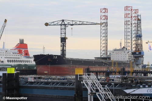
Peace Garden
Current StatusWhere is the vessel?
Peace Garden is currently in Near Pointe a la Hache, based on AIS data received less than 1h ago.
Latest AIS update:
Current position: 29.55678° N, 89.77379° W (Near Pointe a la Hache)
Average speed (last 7 days): Loading…
Average speed (last 30 days): Loading…
Vessel profile: Peace Garden is a Bulk Carrier with dimensions 32m x 225m.
This page combines live AIS, route history, probable destination signals, nearby traffic, and port activity for practical vessel monitoring.
The current position of vessel Peace Garden is 29.55678 lat / -89.77379 lng. Updated: 2026-04-23 13:32:28 UTCNearest reference points:
- Near Pointe a la Hache
- Near Port Sulphur
- 11 nm NE of Port Sulphur
Details:
Live Vessel Peace Garden Analytics (details, animations, etc.)
Recent AIS points (UTC):
2026-04-23 09:46:14 UTC · 29.14833, -89.25500 · SOG 11 kn · COG -1°2026-04-23 10:18:58 UTC · 29.23449, -89.30008 · SOG 11 kn · COG 320°
2026-04-23 12:25:49 UTC · 29.43879, -89.59919 · SOG 11.1 kn · COG 2°
2026-04-23 13:32:28 UTC · 29.55678, -89.77379 · SOG 10.9 kn · COG 317°