 vesseltracker.com
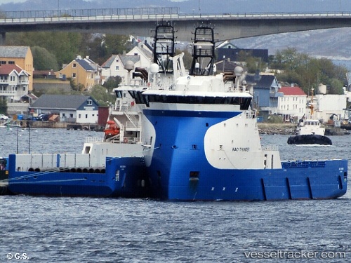
 KINGSBORG
Current Status
Where is the vessel?
KINGSBORG is currently in Near Oulton Broad, based on AIS data received less than 1h ago.
Latest AIS update:
Current position: 52.47391° N, 1.75743° E (Near Oulton Broad)
Average speed (last 7 days): Loading…
Average speed (last 30 days): Loading…
Vessel profile: KINGSBORG is a Offshore Supply Ship with dimensions m x m.
This page combines live AIS, route history, probable destination signals, nearby traffic, and port activity for practical vessel monitoring.
The current position of vessel KINGSBORG is 52.47391 lat / 1.75743 lng. Updated: 2026-05-13 23:52:29 UTCNearest reference points:
- Near Oulton Broad
- Near Hemsby
- Near Hedenham
Currently sailing under the flag of Netherlands ![]()
Details:
Live Vessel KINGSBORG Analytics (details, animations, etc.)
Recent AIS points (UTC):
2026-05-13 19:54:52 UTC · 52.47388, 1.75744 · SOG 0 kn · COG 225°2026-05-13 21:53:17 UTC · 52.47388, 1.75743 · SOG 0 kn · COG 224°
2026-05-13 22:57:54 UTC · 52.47390, 1.75744 · SOG 0 kn · COG 224°
2026-05-13 23:52:29 UTC · 52.47391, 1.75743 · SOG 0 kn · COG 224°