 vesseltracker.com
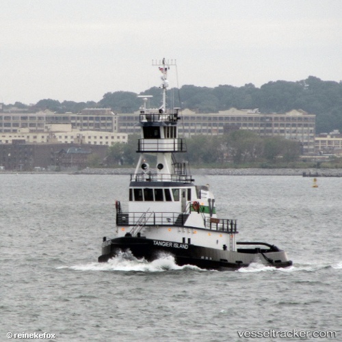
 Tangier Island
Current Status
Where is the vessel?
Tangier Island is currently in Near Tampa, based on AIS data received less than 1h ago.
Latest AIS update:
Current position: 27.90330° N, 82.41648° W (Near Tampa)
Average speed (last 7 days): Loading…
Average speed (last 30 days): Loading…
Vessel profile: Tangier Island is a Pusher Tug with dimensions 31m x 10m.
This page combines live AIS, route history, probable destination signals, nearby traffic, and port activity for practical vessel monitoring.
The current position of vessel Tangier Island is 27.90330 lat / -82.41648 lng. Updated: 2026-05-15 07:20:14 UTCNearest reference points:
- Near Tampa
- Near St. Petersburg
- Near Saint Petersburg
Currently sailing under the flag of USA ![]()
Tangier Island built in 2013 year
Deadweight:
212 tDetails:
Live Vessel Tangier Island Analytics (details, animations, etc.)
Recent AIS points (UTC):
2026-05-15 03:56:16 UTC · 27.90331, -82.41648 · SOG 0 kn · COG 90°2026-05-15 04:14:08 UTC · 27.90331, -82.41647 · SOG 0 kn · COG 90°
2026-05-15 05:44:13 UTC · 27.90331, -82.41647 · SOG 0 kn · COG 90°
2026-05-15 07:20:14 UTC · 27.90330, -82.41648 · SOG 0 kn · COG 90°