 vesseltracker.com
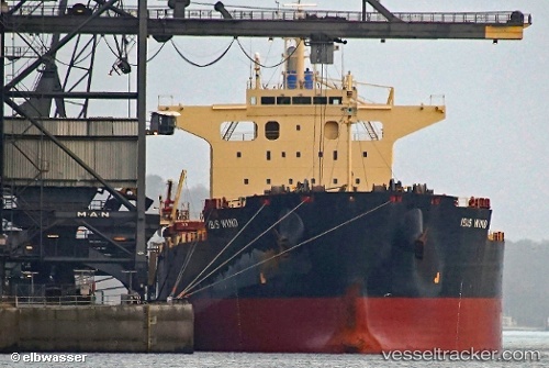
Ibis Wind
Current StatusWhere is the vessel?
Ibis Wind is currently in Near São Luís, based on AIS data received about 1h ago.
Latest AIS update:
Current position: 2.39460° S, 44.27354° W (Near São Luís)
Average speed (last 7 days): Loading…
Average speed (last 30 days): Loading…
Vessel profile: Ibis Wind is a Bulk Carrier with dimensions 32m x 229m.
This page combines live AIS, route history, probable destination signals, nearby traffic, and port activity for practical vessel monitoring.
The current position of vessel Ibis Wind is -2.39460 lat / -44.27354 lng. Updated: 2026-04-29 01:51:37 UTCNearest reference points:
- 53 nm N of Beija-Flor
Details:
Live Vessel Ibis Wind Analytics (details, animations, etc.)
Recent AIS points (UTC):
2026-04-28 22:12:37 UTC · -2.39422, -44.27551 · SOG 0.2 kn · COG 177°2026-04-29 00:12:37 UTC · -2.39452, -44.27363 · SOG 0.1 kn · COG 216°
2026-04-29 01:06:37 UTC · -2.39447, -44.27361 · SOG 0 kn · COG 217°
2026-04-29 01:51:37 UTC · -2.39460, -44.27354 · SOG 0 kn · COG 220°