 vesseltracker.com
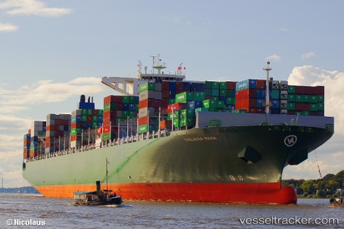
 Thalassa Mana
Current Status
Where is the vessel?
Thalassa Mana is currently in 51 nm W of Kirstenhof (Kirstenbosch), based on AIS data received less than 1h ago.
Latest AIS update:
Current position: 33.88926° S, 17.32170° E (51 nm W of Kirstenhof (Kirstenbosch))
Average speed (last 7 days): Loading…
Average speed (last 30 days): Loading…
Vessel profile: Thalassa Mana is a Container Ship with dimensions 368m x 51m.
This page combines live AIS, route history, probable destination signals, nearby traffic, and port activity for practical vessel monitoring.
The current position of vessel Thalassa Mana is -33.88926 lat / 17.32170 lng. Updated: 2026-05-02 13:34:12 UTCNearest reference points:
- 12 nm W of ROBBEN ISLAND
- Near HOUT BAY
- 18 nm SW of Cape Of Good Hope
Currently sailing under the flag of Liberia ![]()
Thalassa Mana built in 2014 year
Deadweight:
131862 tDetails:
Live Vessel Thalassa Mana Analytics (details, animations, etc.)
Recent AIS points (UTC):
2026-05-02 10:40:45 UTC · -34.50743, 17.95855 · SOG 16.2 kn · COG 313°2026-05-02 12:07:51 UTC · -34.21776, 17.62070 · SOG 17.1 kn · COG 323°
2026-05-02 13:20:35 UTC · -33.94176, 17.36847 · SOG 17.3 kn · COG 323°
2026-05-02 13:34:12 UTC · -33.88926, 17.32170 · SOG 17.2 kn · COG 324°