 vesseltracker.com
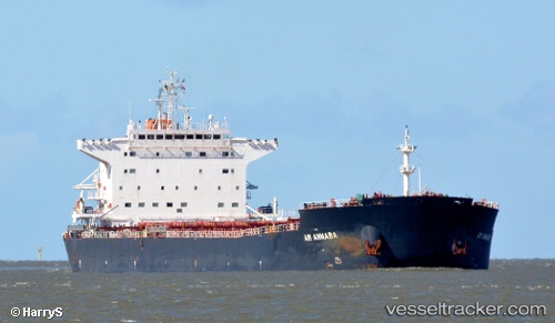
 Am Annaba
Current Status
Where is the vessel?
Am Annaba is currently in 59 nm SE of Las Brujas, based on AIS data received about 1h ago.
Latest AIS update:
Current position: 22.92236° N, 17.56914° W (59 nm SE of Las Brujas)
Average speed (last 7 days): Loading…
Average speed (last 30 days): Loading…
Vessel profile: Am Annaba is a Bulk Carrier with dimensions 225m x 32m.
This page combines live AIS, route history, probable destination signals, nearby traffic, and port activity for practical vessel monitoring.
The current position of vessel Am Annaba is 22.92236 lat / -17.56914 lng. Updated: 2026-05-16 07:32:24 UTCNearest reference points:
- 41 nm NW of Nouadhibou
- 68 nm NW of Ad Dakhla
- Near DAKHLA
Currently sailing under the flag of Marshall Is ![]()
Am Annaba built in 2013 year
Deadweight:
76079 tDetails:
Live Vessel Am Annaba Analytics (details, animations, etc.)
Recent AIS points (UTC):
2026-05-16 04:49:05 UTC · 22.49686, -17.77925 · SOG 9.9 kn · COG 27°2026-05-16 05:48:46 UTC · 22.65038, -17.70990 · SOG 9.9 kn · COG 26°
2026-05-16 07:15:07 UTC · 22.87683, -17.59406 · SOG 10.6 kn · COG 27°
2026-05-16 07:32:24 UTC · 22.92236, -17.56914 · SOG 10.5 kn · COG 26°