 vesseltracker.com
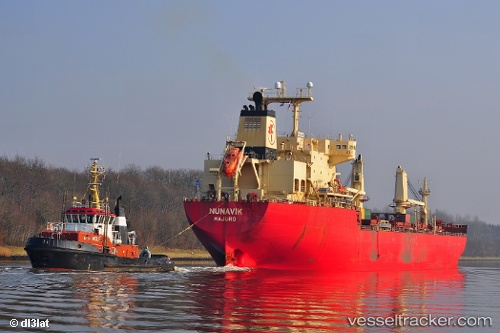
Nunavik
Current StatusWhere is the vessel?
Nunavik is currently in 162 nm NE of Beauly, based on AIS data received about 97d ago.
Latest AIS update:
Current position: 59.05693° N, 39.17612° W (162 nm NE of Beauly)
Average speed (last 7 days): Loading…
Average speed (last 30 days): Loading…
Vessel profile: Nunavik is a Bulk Carrier with dimensions 27m x 178m.
This page combines live AIS, route history, probable destination signals, nearby traffic, and port activity for practical vessel monitoring.
The current position of vessel Nunavik is 59.05693 lat / -39.17612 lng. Updated: 2026-01-21 08:29:02 UTCDetails:
Live Vessel Nunavik Analytics (details, animations, etc.)
Recent AIS points (UTC):
2026-01-21 08:29:02 UTC · 59.05693, -39.17612 · SOG 15.8 kn · COG 98°