 vesseltracker.com
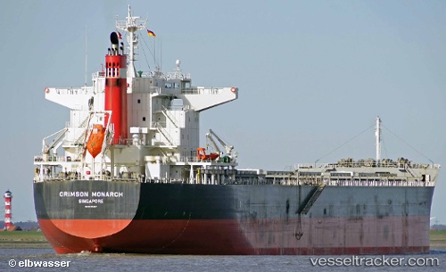
 SAINT MYRON
Current Status
Where is the vessel?
SAINT MYRON is currently in Near Barra Grande, based on AIS data received less than 1h ago.
Latest AIS update:
Current position: 13.05200° S, 38.63130° W (Near Barra Grande)
Average speed (last 7 days): Loading…
Average speed (last 30 days): Loading…
Vessel profile: SAINT MYRON is a Bulk Carrier with dimensions 224m x 32m.
This page combines live AIS, route history, probable destination signals, nearby traffic, and port activity for practical vessel monitoring.
The current position of vessel SAINT MYRON is -13.052 lat / -38.6313 lng. Updated: 2026-05-15 03:28:04 UTCNearest reference points:
- Near Aracaju
- Near Barra dos Coqueiros
Currently sailing under the flag of Malta ![]()
SAINT MYRON built in 2014 year
Deadweight:
77116 tDetails:
Live Vessel SAINT MYRON Analytics (details, animations, etc.)
Recent AIS points (UTC):
2026-05-14 21:40:04 UTC · -13.05330, -38.63260 · SOG 0.2 kn · COG 106°2026-05-14 22:25:03 UTC · -13.05280, -38.63240 · SOG 0.1 kn · COG 124°
2026-05-14 23:52:04 UTC · -13.05260, -38.63220 · SOG 0.1 kn · COG 132°
2026-05-15 03:28:04 UTC · -13.05200, -38.63130 · SOG 0.2 kn · COG 167°