 vesseltracker.com
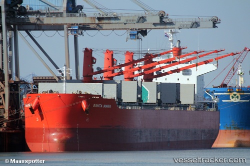
Santa Maria
Current StatusWhere is the vessel?
Santa Maria is currently in 38 nm NE of Lü-hua Shan, based on AIS data received less than 1h ago.
Latest AIS update:
Current position: 31.11991° N, 123.26520° E (38 nm NE of Lü-hua Shan)
Average speed (last 7 days): Loading…
Average speed (last 30 days): Loading…
Vessel profile: Santa Maria is a Bulk Carrier with dimensions 32m x 199m.
This page combines live AIS, route history, probable destination signals, nearby traffic, and port activity for practical vessel monitoring.
The current position of vessel Santa Maria is 31.11991 lat / 123.26520 lng. Updated: 2026-04-24 13:02:36 UTCNearest reference points:
- 44 nm E of Lü-hua Shan
- 21 nm NE of Lü-hua Shan
- 19 nm NE of Lü-hua Shan
Details:
Live Vessel Santa Maria Analytics (details, animations, etc.)
Recent AIS points (UTC):
2026-04-24 09:42:07 UTC · 31.42821, 123.67592 · SOG 9.6 kn · COG 195°2026-04-24 10:43:17 UTC · 31.26834, 123.62708 · SOG 9.1 kn · COG 195°
2026-04-24 12:22:54 UTC · 31.11730, 123.38669 · SOG 9.8 kn · COG 260°
2026-04-24 13:02:36 UTC · 31.11991, 123.26520 · SOG 9.3 kn · COG 280°