 vesseltracker.com
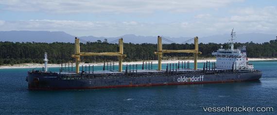
 EMMA OLDENDORFF
Current Status
Where is the vessel?
EMMA OLDENDORFF is currently in 11 nm SE of New Point, based on AIS data received less than 1h ago.
Latest AIS update:
Current position: 37.23868° N, 76.09343° W (11 nm SE of New Point)
Average speed (last 7 days): Loading…
Average speed (last 30 days): Loading…
Vessel profile: EMMA OLDENDORFF is a General Cargo Ship with dimensions 30m x 180m.
This page combines live AIS, route history, probable destination signals, nearby traffic, and port activity for practical vessel monitoring.
The current position of vessel EMMA OLDENDORFF is 37.23868 lat / -76.09343 lng. Updated: 2026-05-14 00:19:46 UTCNearest reference points:
- Near New Point
- Near Sewell's Point
- Near Hampton Roads Pt
Currently sailing under the flag of Portugal (MAR) ![]()
EMMA OLDENDORFF built in 2014 year
Deadweight:
38300 tDetails:
Live Vessel EMMA OLDENDORFF Analytics (details, animations, etc.)
Recent AIS points (UTC):
2026-05-13 19:46:46 UTC · 37.23778, -76.09542 · SOG 0 kn · COG 133°2026-05-13 21:37:46 UTC · 37.23818, -76.09453 · SOG 0.1 kn · COG 159°
2026-05-13 23:01:46 UTC · 37.23862, -76.09369 · SOG 0.1 kn · COG 155°
2026-05-14 00:19:46 UTC · 37.23868, -76.09343 · SOG 0.1 kn · COG 167°