 vesseltracker.com
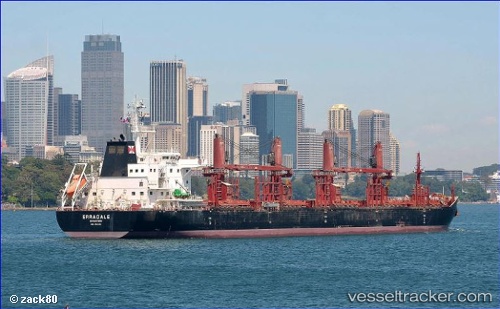
 AFRICAN LAPWING
Current Status
Where is the vessel?
AFRICAN LAPWING is currently in 375 nm SW of Morro Redondo, based on AIS data received about 1h ago.
Latest AIS update:
Current position: 24.76557° N, 121.10612° W (375 nm SW of Morro Redondo)
Average speed (last 7 days): Loading…
Average speed (last 30 days): Loading…
Vessel profile: AFRICAN LAPWING is a Cargo with dimensions m x m.
This page combines live AIS, route history, probable destination signals, nearby traffic, and port activity for practical vessel monitoring.
The current position of vessel AFRICAN LAPWING is 24.76557 lat / -121.10612 lng. Updated: 2026-05-14 07:29:43 UTCNearest reference points:
- Open sea, approx. 401 nm off the nearest listed port
- Open sea, approx. 403 nm off the nearest listed port
- Open sea, approx. 404 nm off the nearest listed port
Currently sailing under the flag of Bahamas ![]()
Details:
Live Vessel AFRICAN LAPWING Analytics (details, animations, etc.)
Recent AIS points (UTC):
2026-05-14 04:55:53 UTC · 24.56045, -120.59852 · SOG 11.6 kn · COG 294°2026-05-14 06:03:20 UTC · 24.65102, -120.81907 · SOG 11.8 kn · COG 294°
2026-05-14 07:15:17 UTC · 24.74503, -121.05748 · SOG 12.1 kn · COG 294°
2026-05-14 07:29:43 UTC · 24.76557, -121.10612 · SOG 12 kn · COG 294°