 vesseltracker.com
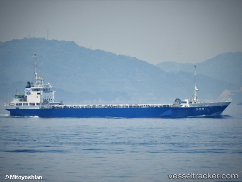
 Kishomaru
Current Status
Where is the vessel?
Kishomaru is currently in 10 nm W of SHICHIRUI, based on AIS data received less than 1h ago.
Latest AIS update:
Current position: 35.61615° N, 133.02847° E (10 nm W of SHICHIRUI)
Average speed (last 7 days): Loading…
Average speed (last 30 days): Loading…
Vessel profile: Kishomaru is a General Cargo Ship with dimensions 68m x 68m.
This page combines live AIS, route history, probable destination signals, nearby traffic, and port activity for practical vessel monitoring.
The current position of vessel Kishomaru is 35.61615 lat / 133.02847 lng. Updated: 2026-05-14 04:27:39 UTCNearest reference points:
- 37 nm NW of NAKANOSHIMA
- Near FUKUYAMA
- Near ONOMICHIITOZAKI
Currently sailing under the flag of Japan ![]()
Details:
Live Vessel Kishomaru Analytics (details, animations, etc.)
Recent AIS points (UTC):
2026-05-14 01:43:57 UTC · 35.74258, 133.72363 · SOG 12 kn · COG 258°2026-05-14 01:49:48 UTC · 35.73737, 133.70045 · SOG 12 kn · COG 258°
2026-05-14 03:40:59 UTC · 35.65598, 133.22694 · SOG 13 kn · COG 261°
2026-05-14 04:27:39 UTC · 35.61615, 133.02847 · SOG 13 kn · COG 248°