 vesseltracker.com
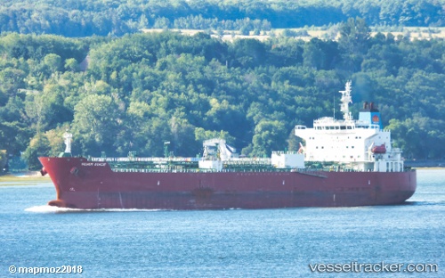
 TORM DIWATA
Current Status
Where is the vessel?
TORM DIWATA is currently in Near TOPOLOBAMPO, based on AIS data received less than 1h ago.
Latest AIS update:
Current position: 25.54399° N, 109.22857° W (Near TOPOLOBAMPO)
Average speed (last 7 days): Loading…
Average speed (last 30 days): Loading…
Vessel profile: TORM DIWATA is a Tanker with dimensions m x m.
This page combines live AIS, route history, probable destination signals, nearby traffic, and port activity for practical vessel monitoring.
The current position of vessel TORM DIWATA is 25.54399 lat / -109.22857 lng. Updated: 2026-05-13 21:43:41 UTCNearest reference points:
- Near LA PAZ
- Near LA PLAYA
Currently sailing under the flag of Denmark ![]()
Details:
Live Vessel TORM DIWATA Analytics (details, animations, etc.)
Recent AIS points (UTC):
2026-05-13 18:01:43 UTC · 25.54408, -109.22869 · SOG 0.1 kn · COG 317°2026-05-13 19:28:47 UTC · 25.54416, -109.22863 · SOG 0.1 kn · COG 313°
2026-05-13 20:19:44 UTC · 25.54403, -109.22876 · SOG 0 kn · COG 321°
2026-05-13 21:43:41 UTC · 25.54399, -109.22857 · SOG 0 kn · COG 314°