 vesseltracker.com
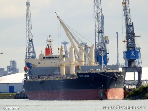
Buna Arrow
Current StatusWhere is the vessel?
Buna Arrow is currently in Near La Chimba, based on AIS data received about 1h ago.
Latest AIS update:
Current position: 23.61941° S, 70.40346° W (Near La Chimba)
Average speed (last 7 days): Loading…
Average speed (last 30 days): Loading…
Vessel profile: Buna Arrow is a Bulk Carrier with dimensions 32m x 190m.
This page combines live AIS, route history, probable destination signals, nearby traffic, and port activity for practical vessel monitoring.
The current position of vessel Buna Arrow is -23.61941 lat / -70.40346 lng. Updated: 2026-05-14 02:18:31 UTCNearest reference points:
- 17 nm W of Puerto Angamos
Details:
Live Vessel Buna Arrow Analytics (details, animations, etc.)
Recent AIS points (UTC):
2026-05-13 23:03:31 UTC · -23.61735, -70.40251 · SOG 0.2 kn · COG 249°2026-05-14 00:18:27 UTC · -23.61898, -70.40283 · SOG 0.2 kn · COG 311°
2026-05-14 01:39:31 UTC · -23.61945, -70.40362 · SOG 0 kn · COG 334°
2026-05-14 02:18:31 UTC · -23.61941, -70.40346 · SOG 0 kn · COG 332°