 vesseltracker.com
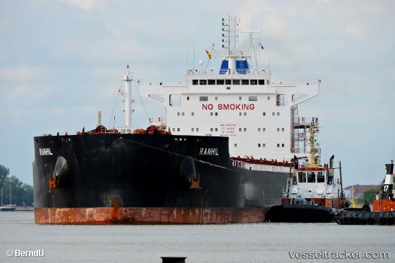
 MAGIC STARLIGHT
Current Status
Where is the vessel?
MAGIC STARLIGHT is currently in 68 nm SW of UCLUELET, based on AIS data received less than 1h ago.
Latest AIS update:
Current position: 48.47713° N, 127.11393° W (68 nm SW of UCLUELET)
Average speed (last 7 days): Loading…
Average speed (last 30 days): Loading…
Vessel profile: MAGIC STARLIGHT is a Bulk Carrier with dimensions 229m x 32m.
This page combines live AIS, route history, probable destination signals, nearby traffic, and port activity for practical vessel monitoring.
The current position of vessel MAGIC STARLIGHT is 48.47713 lat / -127.11393 lng. Updated: 2026-05-13 19:23:13 UTCNearest reference points:
- 21 nm NW of Tatoosh Island
- Near PORT HARDY
- 29 nm NW of Coal Harbour
Currently sailing under the flag of Marshall Islands ![]()
MAGIC STARLIGHT built in 2015 year
Deadweight:
81048 tDetails:
Live Vessel MAGIC STARLIGHT Analytics (details, animations, etc.)
Recent AIS points (UTC):
2026-05-13 15:28:20 UTC · 48.48158, -128.45920 · SOG 13.5 kn · COG 89°2026-05-13 16:17:30 UTC · 48.48109, -128.18172 · SOG 13.5 kn · COG 90°
2026-05-13 18:04:27 UTC · 48.47798, -127.56783 · SOG 13.9 kn · COG 87°
2026-05-13 19:23:13 UTC · 48.47713, -127.11393 · SOG 13.6 kn · COG 87°