 vesseltracker.com
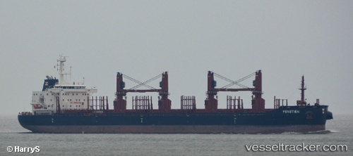
 SEASTAR VIKING
Current Status
Where is the vessel?
SEASTAR VIKING is currently in 13 nm N of Vedado, based on AIS data received less than 1h ago.
Latest AIS update:
Current position: 23.33833° N, 83.29333° W (13 nm N of Vedado)
Average speed (last 7 days): Loading…
Average speed (last 30 days): Loading…
Vessel profile: SEASTAR VIKING is a Cargo with dimensions m x m.
This page combines live AIS, route history, probable destination signals, nearby traffic, and port activity for practical vessel monitoring.
The current position of vessel SEASTAR VIKING is 23.33833 lat / -83.29333 lng. Updated: 2026-04-27 03:53:46 UTCNearest reference points:
- Near Mariel
- 40 nm S of Florida Straits
- Near ALAMEDA DEL SIBONEY
Currently sailing under the flag of Gibraltar ![]()
Details:
Live Vessel SEASTAR VIKING Analytics (details, animations, etc.)
Recent AIS points (UTC):
2026-04-26 23:44:06 UTC · 23.55167, -82.40833 · SOG 12 kn · COG -1°2026-04-27 01:23:25 UTC · 23.46333, -82.76167 · SOG 12 kn · COG -1°
2026-04-27 01:53:28 UTC · 23.43833, -82.86833 · SOG 12 kn · COG -1°
2026-04-27 03:53:46 UTC · 23.33833, -83.29333 · SOG 12 kn · COG -1°