 vesseltracker.com
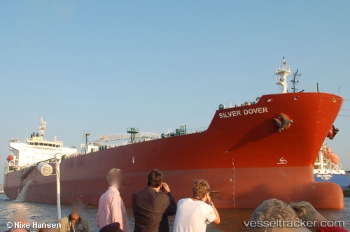
 TORM DAGNY
Current Status
Where is the vessel?
TORM DAGNY is currently in 64 nm NW of Essaouira, based on AIS data received about 1h ago.
Latest AIS update:
Current position: 32.02108° N, 10.53154° W (64 nm NW of Essaouira)
Average speed (last 7 days): Loading…
Average speed (last 30 days): Loading…
Vessel profile: TORM DAGNY is a Tanker with dimensions m x m.
This page combines live AIS, route history, probable destination signals, nearby traffic, and port activity for practical vessel monitoring.
The current position of vessel TORM DAGNY is 32.02108 lat / -10.53154 lng. Updated: 2026-05-14 07:17:39 UTCNearest reference points:
- 64 nm W of Essaouira
- 80 nm S of Jarjis
- 87 nm W of Essaouira
Currently sailing under the flag of Denmark ![]()
Details:
Live Vessel TORM DAGNY Analytics (details, animations, etc.)
Recent AIS points (UTC):
2026-05-14 04:01:30 UTC · 31.50093, -10.92414 · SOG 11.3 kn · COG 33°2026-05-14 06:09:49 UTC · 31.83914, -10.67041 · SOG 11.4 kn · COG 33°
2026-05-14 06:32:06 UTC · 31.90006, -10.62692 · SOG 11.4 kn · COG 33°
2026-05-14 07:17:39 UTC · 32.02108, -10.53154 · SOG 11.6 kn · COG 35°