 vesseltracker.com
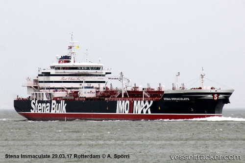
 ENERSEA 1
Current Status
Where is the vessel?
ENERSEA 1 is currently in 227 nm W of Iba, based on AIS data received less than 1h ago.
Latest AIS update:
Current position: 15.26333° N, 116.04333° E (227 nm W of Iba)
Average speed (last 7 days): Loading…
Average speed (last 30 days): Loading…
Vessel profile: ENERSEA 1 is a Tanker A with dimensions m x m.
This page combines live AIS, route history, probable destination signals, nearby traffic, and port activity for practical vessel monitoring.
The current position of vessel ENERSEA 1 is 15.26333 lat / 116.04333 lng. Updated: 2026-05-14 03:45:11 UTCNearest reference points:
- 222 nm W of Iba
- 282 nm E of Tan Cang Qui Nhon
- 232 nm E of Tan Cang Qui Nhon
Currently sailing under the flag of Panama ![]()
Details:
Live Vessel ENERSEA 1 Analytics (details, animations, etc.)
Recent AIS points (UTC):
2026-05-13 23:36:12 UTC · 14.58500, 115.42833 · SOG 13 kn · COG -1°2026-05-14 00:48:15 UTC · 14.79333, 115.61167 · SOG 13 kn · COG -1°
2026-05-14 01:15:18 UTC · 14.86500, 115.67833 · SOG 12 kn · COG -1°
2026-05-14 03:45:11 UTC · 15.26333, 116.04333 · SOG 12 kn · COG -1°