 vesseltracker.com
 LONGWAVE
Current Status
Where is the vessel?
LONGWAVE is currently in 18 nm SW of Sagres, based on AIS data received about 1h ago.
Latest AIS update:
Current position: 36.85929° N, 9.27449° W (18 nm SW of Sagres)
Average speed (last 7 days): Loading…
Average speed (last 30 days): Loading…
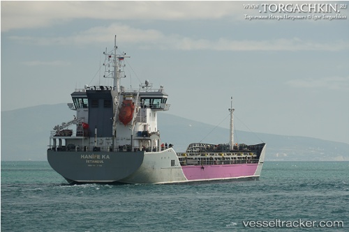
Vessel profile: LONGWAVE is a General Cargo Ship with dimensions 130m x 17m.
This page combines live AIS, route history, probable destination signals, nearby traffic, and port activity for practical vessel monitoring.
The current position of vessel LONGWAVE is 36.85929 lat / -9.27449 lng. Updated: 2026-05-14 10:17:12 UTCNearest reference points:
- 31 nm SW of Sagres
- 18 nm S of Sagres
- Near Lagos
Currently sailing under the flag of Netherlands ![]()
LONGWAVE built in 2015 year
Deadweight:
10714 tDetails:
Live Vessel LONGWAVE Analytics (details, animations, etc.)
Recent AIS points (UTC):
2026-05-14 07:21:18 UTC · 36.69408, -8.90014 · SOG 6.7 kn · COG 288°2026-05-14 08:39:50 UTC · 36.73825, -9.07864 · SOG 7.1 kn · COG 288°
2026-05-14 10:17:12 UTC · 36.85929, -9.27449 · SOG 6.9 kn · COG 319°
2026-05-14 10:17:12 UTC · 36.85929, -9.27449 · SOG 6.9 kn · COG 319°