 vesseltracker.com
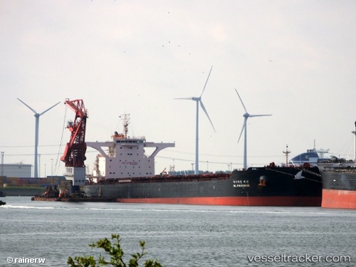
 SEAWIND
Current Status
Where is the vessel?
SEAWIND is currently in 85 nm SE of Muara Pantai, based on AIS data received about 22h ago.
Latest AIS update:
Current position: 1.27263° N, 119.37319° E (85 nm SE of Muara Pantai)
Average speed (last 7 days): Loading…
Average speed (last 30 days): Loading…
Vessel profile: SEAWIND is a Cargo with dimensions m x m.
This page combines live AIS, route history, probable destination signals, nearby traffic, and port activity for practical vessel monitoring.
The current position of vessel SEAWIND is 1.27263 lat / 119.37319 lng. Updated: 2026-04-27 21:25:12 UTCNearest reference points:
- 69 nm E of Kaliorang
- 81 nm E of Muara Pantai
- 29 nm W of Labuanbajo
Currently sailing under the flag of Malta ![]()
Details:
Live Vessel SEAWIND Analytics (details, animations, etc.)
Recent AIS points (UTC):
2026-04-27 21:25:12 UTC · 1.27263, 119.37319 · SOG 11.6 kn · COG 13°2026-04-27 21:25:12 UTC · 1.27263, 119.37319 · SOG 11.6 kn · COG 13°
2026-04-27 21:25:12 UTC · 1.27263, 119.37319 · SOG 11.6 kn · COG 13°
2026-04-27 21:25:12 UTC · 1.27263, 119.37319 · SOG 11.6 kn · COG 13°