 vesseltracker.com
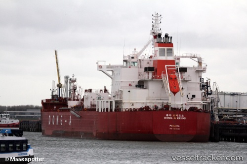
 EMMA GRACE
Current Status
Where is the vessel?
EMMA GRACE is currently in 85 nm SW of Los Ramos, based on AIS data received about 1h ago.
Latest AIS update:
Current position: 37.30207° N, 11.92038° W (85 nm SW of Los Ramos)
Average speed (last 7 days): Loading…
Average speed (last 30 days): Loading…
Vessel profile: EMMA GRACE is a Chemical/Oil Products Tanker with dimensions 32m x 183m.
This page combines live AIS, route history, probable destination signals, nearby traffic, and port activity for practical vessel monitoring.
The current position of vessel EMMA GRACE is 37.30207 lat / -11.92038 lng. Updated: 2026-05-14 07:10:05 UTCNearest reference points:
- 97 nm W of Los Ramos
- 95 nm W of Los Ramos
- 94 nm W of Los Ramos
Currently sailing under the flag of Marshall Islands ![]()
EMMA GRACE built in 2015 year
Deadweight:
49997 tDetails:
Live Vessel EMMA GRACE Analytics (details, animations, etc.)
Recent AIS points (UTC):
2026-05-14 03:55:11 UTC · 37.61170, -12.77924 · SOG 13.9 kn · COG 120°2026-05-14 05:42:26 UTC · 37.42845, -12.31497 · SOG 13.6 kn · COG 110°
2026-05-14 06:56:58 UTC · 37.32127, -11.98113 · SOG 14.2 kn · COG 110°
2026-05-14 07:10:05 UTC · 37.30207, -11.92038 · SOG 14.4 kn · COG 110°