 vesseltracker.com
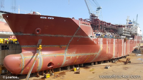
 Mygas
Mygas
Current Status
Where is the vessel?
Mygas is currently in 135 nm SE of Paget Parish, based on AIS data received less than 1h ago.
Latest AIS update:
Current position: 30.57333° N, 63.04500° W (135 nm SE of Paget Parish)
Average speed (last 7 days): Loading…
Average speed (last 30 days): Loading…
Vessel profile: Mygas is a Lpg Tanker with dimensions 146m x 22m.
This page combines live AIS, route history, probable destination signals, nearby traffic, and port activity for practical vessel monitoring.
The current position of vessel Mygas is 30.57333 lat / -63.04500 lng. Updated: 2026-05-14 07:32:48 UTCCurrently sailing under the flag of Antigua Barbuda ![]()
Details:
Live Vessel Mygas Analytics (details, animations, etc.)
Recent AIS points (UTC):
2026-05-14 03:26:47 UTC · 30.86500, -62.17333 · SOG 12 kn · COG -1°2026-05-14 04:14:09 UTC · 30.81136, -62.34693 · SOG 12.1 kn · COG 247°
2026-05-14 06:11:48 UTC · 30.67167, -62.76667 · SOG 11 kn · COG -1°
2026-05-14 07:32:48 UTC · 30.57333, -63.04500 · SOG 11 kn · COG -1°