 vesseltracker.com
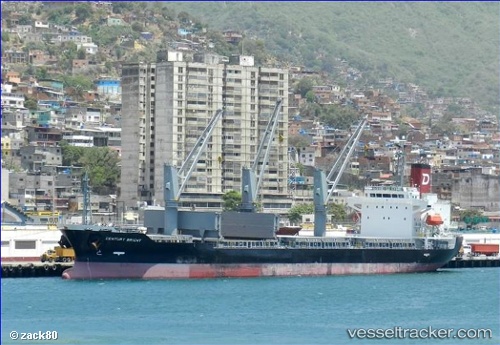
Century Bright
Current StatusWhere is the vessel?
Century Bright is currently in Near Vineyard, based on AIS data received about 3h ago.
Latest AIS update:
Current position: 17.96655° N, 76.74506° W (Near Vineyard)
Average speed (last 7 days): Loading…
Average speed (last 30 days): Loading…
Vessel profile: Century Bright is a Bulk Carrier with dimensions 24m x 136m.
This page combines live AIS, route history, probable destination signals, nearby traffic, and port activity for practical vessel monitoring.
The current position of vessel Century Bright is 17.96655 lat / -76.74506 lng. Updated: 2026-05-16 03:07:27 UTCNearest reference points:
- 16 nm SE of Ceiba Hueca
Details:
Live Vessel Century Bright Analytics (details, animations, etc.)
Recent AIS points (UTC):
2026-05-15 20:10:27 UTC · 17.96657, -76.74507 · SOG 0.1 kn · COG 100°2026-05-16 03:07:27 UTC · 17.96655, -76.74506 · SOG 0 kn · COG 100°
2026-05-16 03:07:27 UTC · 17.96655, -76.74506 · SOG 0 kn · COG 100°
2026-05-16 03:07:27 UTC · 17.96655, -76.74506 · SOG 0 kn · COG 100°