 vesseltracker.com
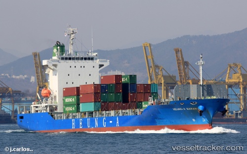
 HEUNG A SARAH
Current Status
Where is the vessel?
HEUNG A SARAH is currently in Near HAI PHONG, based on AIS data received less than 1h ago.
Latest AIS update:
Current position: 20.86393° N, 106.72444° E (Near HAI PHONG)
Average speed (last 7 days): Loading…
Average speed (last 30 days): Loading…
Vessel profile: HEUNG A SARAH is a Cargo with dimensions m x m.
This page combines live AIS, route history, probable destination signals, nearby traffic, and port activity for practical vessel monitoring.
The current position of vessel HEUNG A SARAH is 20.86393 lat / 106.72444 lng. Updated: 2026-05-15 15:55:32 UTCNearest reference points:
- Near HAI PHONG
- Near Chua Ve Terminal
- Near Haiphong
Currently sailing under the flag of South Korea ![]()
Details:
Live Vessel HEUNG A SARAH Analytics (details, animations, etc.)
Recent AIS points (UTC):
2026-05-15 11:37:32 UTC · 20.86398, 106.72442 · SOG 0 kn · COG 313°2026-05-15 13:19:32 UTC · 20.86392, 106.72439 · SOG 0.1 kn · COG 313°
2026-05-15 14:01:32 UTC · 20.86391, 106.72439 · SOG 0.1 kn · COG 313°
2026-05-15 15:55:32 UTC · 20.86393, 106.72444 · SOG 0 kn · COG 313°