 vesseltracker.com
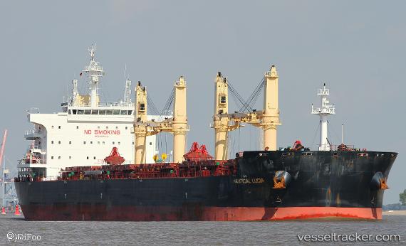
 PAN IMPERIAL
Current Status
Where is the vessel?
PAN IMPERIAL is currently in 217 nm NW of Port Mathurin, based on AIS data received about 1h ago.
Latest AIS update:
Current position: 17.14876° S, 60.70350° E (217 nm NW of Port Mathurin)
Average speed (last 7 days): Loading…
Average speed (last 30 days): Loading…
Vessel profile: PAN IMPERIAL is a Bulk Carrier with dimensions 199m x 199m.
This page combines live AIS, route history, probable destination signals, nearby traffic, and port activity for practical vessel monitoring.
The current position of vessel PAN IMPERIAL is -17.14876 lat / 60.70350 lng. Updated: 2026-05-18 06:01:29 UTCNearest reference points:
- 219 nm NW of Port Mathurin
- 106 nm NW of Port Mathurin
- 241 nm N of Port Mathurin
Currently sailing under the flag of Panama ![]()
PAN IMPERIAL built in 2016 year
Deadweight:
63567 tDetails:
Live Vessel PAN IMPERIAL Analytics (details, animations, etc.)
Recent AIS points (UTC):
2026-05-18 01:55:28 UTC · -16.81461, 61.45356 · SOG 11.5 kn · COG 244°2026-05-18 04:06:04 UTC · -16.99329, 61.04566 · SOG 11.5 kn · COG 242°
2026-05-18 04:13:41 UTC · -17.00396, 61.02296 · SOG 11.5 kn · COG 241°
2026-05-18 06:01:29 UTC · -17.14876, 60.70350 · SOG 11.6 kn · COG 243°