 vesseltracker.com
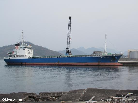
Daitai Maru
Current StatusWhere is the vessel?
Daitai Maru is currently in Near FUKABORI, based on AIS data received less than 1h ago.
Latest AIS update:
Current position: 32.54500° N, 129.89333° E (Near FUKABORI)
Average speed (last 7 days): Loading…
Average speed (last 30 days): Loading…
Vessel profile: Daitai Maru is a General Cargo Ship with dimensions 11m x 68m.
This page combines live AIS, route history, probable destination signals, nearby traffic, and port activity for practical vessel monitoring.
The current position of vessel Daitai Maru is 32.54500 lat / 129.89333 lng. Updated: 2026-05-01 22:10:54 UTCNearest reference points:
- Near FUKABORI
- Near MATSUSHIMA
- Near YATSUSHIRO
Details:
Live Vessel Daitai Maru Analytics (details, animations, etc.)
Recent AIS points (UTC):
2026-05-01 19:28:55 UTC · 32.57667, 129.79167 · SOG 0 kn · COG -1°2026-05-01 19:52:58 UTC · 32.57667, 129.79167 · SOG 0 kn · COG -1°
2026-05-01 20:23:00 UTC · 32.57667, 129.79167 · SOG 0 kn · COG -1°
2026-05-01 22:10:54 UTC · 32.54500, 129.89333 · SOG 11 kn · COG -1°