 vesseltracker.com
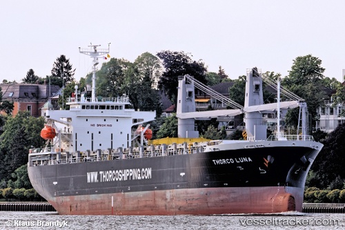
 NORD LING
Current Status
Where is the vessel?
NORD LING is currently in Near Portsmouth, based on AIS data received less than 1h ago.
Latest AIS update:
Current position: 43.10339° N, 70.79073° W (Near Portsmouth)
Average speed (last 7 days): Loading…
Average speed (last 30 days): Loading…
Vessel profile: NORD LING is a Cargo with dimensions m x m.
This page combines live AIS, route history, probable destination signals, nearby traffic, and port activity for practical vessel monitoring.
The current position of vessel NORD LING is 43.10339 lat / -70.79073 lng. Updated: 2026-05-16 17:47:51 UTCNearest reference points:
- Near Kittery
- Near Portland
- 30 nm E of York Beach
Currently sailing under the flag of Panama ![]()
Details:
Live Vessel NORD LING Analytics (details, animations, etc.)
Recent AIS points (UTC):
2026-05-16 13:50:52 UTC · 43.10340, -70.79078 · SOG 0.1 kn · COG 296°2026-05-16 15:20:51 UTC · 43.10341, -70.79076 · SOG 0 kn · COG 295°
2026-05-16 16:14:52 UTC · 43.10334, -70.79083 · SOG 0 kn · COG 295°
2026-05-16 17:47:51 UTC · 43.10339, -70.79073 · SOG 0 kn · COG 295°