 vesseltracker.com
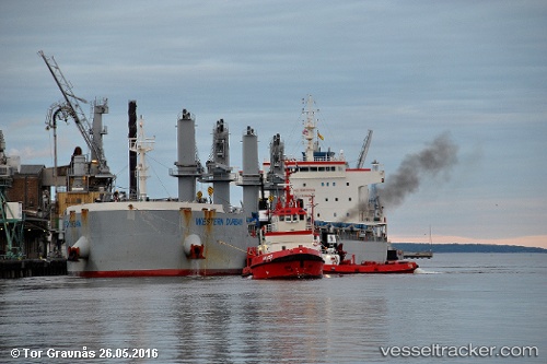
 NITAYA NAREE
Current Status
Where is the vessel?
NITAYA NAREE is currently in 83 nm E of Gulfmex Lightering Area, based on AIS data received about 2h ago.
Latest AIS update:
Current position: 27.48407° N, 89.30147° W (83 nm E of Gulfmex Lightering Area)
Average speed (last 7 days): Loading…
Average speed (last 30 days): Loading…
Vessel profile: NITAYA NAREE is a Cargo with dimensions m x m.
This page combines live AIS, route history, probable destination signals, nearby traffic, and port activity for practical vessel monitoring.
The current position of vessel NITAYA NAREE is 27.48407 lat / -89.30147 lng. Updated: 2026-04-27 17:29:50 UTCNearest reference points:
- Near Pilottown
- Near Port Fourchon
- 13 nm NE of Pilottown
Currently sailing under the flag of Singapore ![]()
Details:
Live Vessel NITAYA NAREE Analytics (details, animations, etc.)
Recent AIS points (UTC):
2026-04-27 14:11:06 UTC · 28.12980, -89.33102 · SOG 10.9 kn · COG 184°2026-04-27 15:47:42 UTC · 27.83052, -89.31342 · SOG 11.5 kn · COG 181°
2026-04-27 16:58:13 UTC · 27.59532, -89.31191 · SOG 12.4 kn · COG 170°
2026-04-27 17:29:50 UTC · 27.48407, -89.30147 · SOG 12.7 kn · COG 171°