 vesseltracker.com
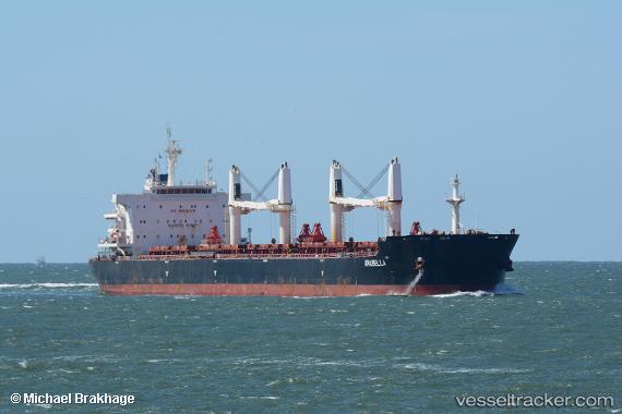
 Arabella
Current Status
Where is the vessel?
Arabella is currently in 252 nm E of Richards Bay, based on AIS data received about 1h ago.
Latest AIS update:
Current position: 29.26544° S, 36.89984° E (252 nm E of Richards Bay)
Average speed (last 7 days): Loading…
Average speed (last 30 days): Loading…
Vessel profile: Arabella is a Bulk Carrier with dimensions 195m x 195m.
This page combines live AIS, route history, probable destination signals, nearby traffic, and port activity for practical vessel monitoring.
The current position of vessel Arabella is -29.26544 lat / 36.89984 lng. Updated: 2026-05-18 02:16:38 UTCNearest reference points:
- 358 nm E of Richards Bay
- 163 nm SE of Richards Bay
- 162 nm SE of Xai-Xai
Currently sailing under the flag of Malta ![]()
Details:
Live Vessel Arabella Analytics (details, animations, etc.)
Recent AIS points (UTC):
2026-05-17 23:36:11 UTC · -29.07609, 37.42872 · SOG 11.2 kn · COG 248°2026-05-17 23:36:11 UTC · -29.07609, 37.42872 · SOG 11.2 kn · COG 248°
2026-05-18 02:16:38 UTC · -29.26544, 36.89984 · SOG 11 kn · COG 240°
2026-05-18 02:16:38 UTC · -29.26544, 36.89984 · SOG 11 kn · COG 240°