 vesseltracker.com
 SEAWAYS KOLBERG
Current Status
Where is the vessel?
SEAWAYS KOLBERG is currently in 55 nm SW of Grand Cayman, based on AIS data received less than 1h ago.
Latest AIS update:
Current position: 18.45474° N, 81.76017° W (55 nm SW of Grand Cayman)
Average speed (last 7 days): Loading…
Average speed (last 30 days): Loading…
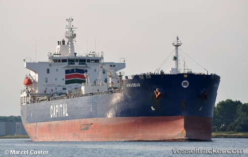
Vessel profile: SEAWAYS KOLBERG is a Chemical/Oil Products Tanker with dimensions 183m x 32m.
This page combines live AIS, route history, probable destination signals, nearby traffic, and port activity for practical vessel monitoring.
The current position of vessel SEAWAYS KOLBERG is 18.45474 lat / -81.76017 lng. Updated: 2026-05-13 21:36:42 UTCNearest reference points:
- Near Georgetown, Grand Cayman
Currently sailing under the flag of Marshall Islands ![]()
SEAWAYS KOLBERG built in 2015 year
Deadweight:
49999 tDetails:
Live Vessel SEAWAYS KOLBERG Analytics (details, animations, etc.)
Recent AIS points (UTC):
2026-05-13 17:55:14 UTC · 18.95113, -82.34857 · SOG 12.5 kn · COG 127°2026-05-13 19:27:46 UTC · 18.74567, -82.10428 · SOG 12.1 kn · COG 140°
2026-05-13 19:27:46 UTC · 18.74567, -82.10428 · SOG 12.1 kn · COG 140°
2026-05-13 21:36:42 UTC · 18.45474, -81.76017 · SOG 12.3 kn · COG 134°