 vesseltracker.com
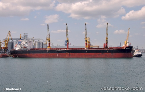
 STAR ROBERTA
Current Status
Where is the vessel?
STAR ROBERTA is currently in Near Boutte, based on AIS data received about 1h ago.
Latest AIS update:
Current position: 29.94125° N, 90.36774° W (Near Boutte)
Average speed (last 7 days): Loading…
Average speed (last 30 days): Loading…
Vessel profile: STAR ROBERTA is a Cargo with dimensions m x m.
This page combines live AIS, route history, probable destination signals, nearby traffic, and port activity for practical vessel monitoring.
The current position of vessel STAR ROBERTA is 29.94125 lat / -90.36774 lng. Updated: 2026-05-14 02:06:10 UTCNearest reference points:
- Near Boutte
- Near Good Hope
- Near Port Of South Louisiana
Currently sailing under the flag of Liberia ![]()
Details:
Live Vessel STAR ROBERTA Analytics (details, animations, etc.)
Recent AIS points (UTC):
2026-05-13 22:54:14 UTC · 29.94128, -90.36773 · SOG 0 kn · COG 291°2026-05-14 00:09:07 UTC · 29.94130, -90.36777 · SOG 0 kn · COG 291°
2026-05-14 01:24:05 UTC · 29.94126, -90.36774 · SOG 0 kn · COG 291°
2026-05-14 02:06:10 UTC · 29.94125, -90.36774 · SOG 0 kn · COG 290°