 vesseltracker.com
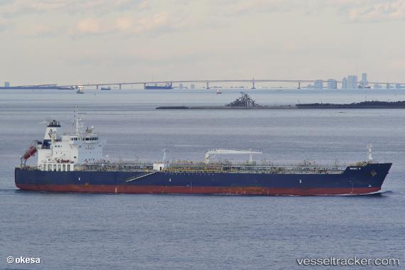
 TORM DIANA
Current Status
Where is the vessel?
TORM DIANA is currently in 146 nm SW of Savanna-la-Mar, based on AIS data received less than 1h ago.
Latest AIS update:
Current position: 16.88667° N, 80.26167° W (146 nm SW of Savanna-la-Mar)
Average speed (last 7 days): Loading…
Average speed (last 30 days): Loading…
Vessel profile: TORM DIANA is a Tanker with dimensions m x m.
This page combines live AIS, route history, probable destination signals, nearby traffic, and port activity for practical vessel monitoring.
The current position of vessel TORM DIANA is 16.88667 lat / -80.26167 lng. Updated: 2026-05-13 21:35:32 UTCNearest reference points:
- Near Georgetown, Grand Cayman
Currently sailing under the flag of Singapore ![]()
Details:
Live Vessel TORM DIANA Analytics (details, animations, etc.)
Recent AIS points (UTC):
2026-05-13 17:59:34 UTC · 17.38667, -80.75167 · SOG 11 kn · COG -1°2026-05-13 19:38:33 UTC · 17.15167, -80.53167 · SOG 11 kn · COG -1°
2026-05-13 19:38:33 UTC · 17.15167, -80.53167 · SOG 11 kn · COG -1°
2026-05-13 21:35:32 UTC · 16.88667, -80.26167 · SOG 11 kn · COG -1°