 vesseltracker.com
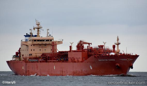
 Navigator Ceres
Current Status
Where is the vessel?
Navigator Ceres is currently in 64 nm NW of Port Clements, based on AIS data received about 1h ago.
Latest AIS update:
Current position: 54.36270° N, 133.57610° W (64 nm NW of Port Clements)
Average speed (last 7 days): Loading…
Average speed (last 30 days): Loading…
Vessel profile: Navigator Ceres is a Lpg Tanker with dimensions 160m x 25m.
This page combines live AIS, route history, probable destination signals, nearby traffic, and port activity for practical vessel monitoring.
The current position of vessel Navigator Ceres is 54.36270 lat / -133.57610 lng. Updated: 2026-05-14 03:28:43 UTCNearest reference points:
- 15 nm N of Port Clements
- Near Queen Charlotte
- Near Ward Cove
Currently sailing under the flag of Liberia ![]()
Details:
Live Vessel Navigator Ceres Analytics (details, animations, etc.)
Recent AIS points (UTC):
2026-05-13 23:35:34 UTC · 54.33215, -131.85161 · SOG 15.9 kn · COG 275°2026-05-14 01:59:48 UTC · 54.35578, -132.93456 · SOG 14.9 kn · COG 274°
2026-05-14 02:45:12 UTC · 54.36272, -133.26086 · SOG 15.2 kn · COG 272°
2026-05-14 03:28:43 UTC · 54.36270, -133.57610 · SOG 15.5 kn · COG 270°