 vesseltracker.com
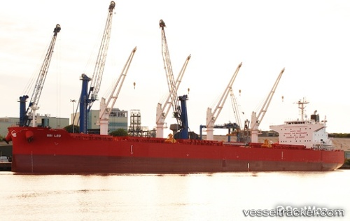
 NORDULTRA
Current Status
Where is the vessel?
NORDULTRA is currently in Near Hunsdon, based on AIS data received less than 1h ago.
Latest AIS update:
Current position: 51.82908° N, 3.34166° E (Near Hunsdon)
Average speed (last 7 days): Loading…
Average speed (last 30 days): Loading…
Vessel profile: NORDULTRA is a Bulk Carrier with dimensions 199m x 32m.
This page combines live AIS, route history, probable destination signals, nearby traffic, and port activity for practical vessel monitoring.
The current position of vessel NORDULTRA is 51.82908 lat / 3.34166 lng. Updated: 2026-05-14 10:39:46 UTCNearest reference points:
- Near Hunsdon
- 12 nm NE of Hunsdon
- Near OOSTWATERING
Currently sailing under the flag of Portugal (MAR) ![]()
NORDULTRA built in 2015 year
Deadweight:
61614 tDetails:
Live Vessel NORDULTRA Analytics (details, animations, etc.)
Recent AIS points (UTC):
2026-05-14 07:58:05 UTC · 51.82638, 3.33928 · SOG 0.1 kn · COG -1°2026-05-14 08:25:06 UTC · 51.82625, 3.33952 · SOG 0 kn · COG 171°
2026-05-14 10:12:44 UTC · 51.82758, 3.34111 · SOG 0.1 kn · COG 314°
2026-05-14 10:39:46 UTC · 51.82908, 3.34166 · SOG 0.1 kn · COG 269°