 vesseltracker.com
 NIGHTINGALE ISLAND
Current Status
Where is the vessel?
NIGHTINGALE ISLAND is currently in 45 nm N of Mostaganem, based on AIS data received less than 1h ago.
Latest AIS update:
Current position: 36.67472° N, 0.07876° W (45 nm N of Mostaganem)
Average speed (last 7 days): Loading…
Average speed (last 30 days): Loading…
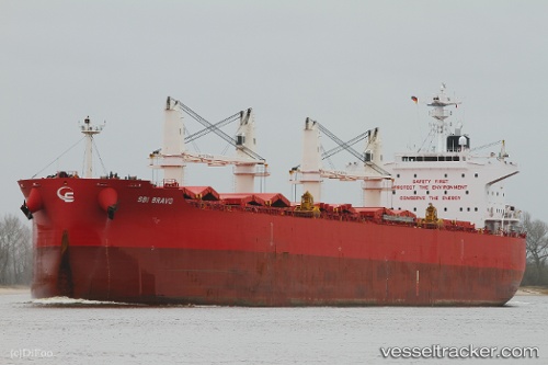
Vessel profile: NIGHTINGALE ISLAND is a Bulk Carrier with dimensions 32m x 200m.
This page combines live AIS, route history, probable destination signals, nearby traffic, and port activity for practical vessel monitoring.
The current position of vessel NIGHTINGALE ISLAND is 36.67472 lat / -0.07876 lng. Updated: 2026-05-14 03:24:12 UTCNearest reference points:
- 50 nm N of Mostaganem
- 43 nm NW of Mostaganem
- 49 nm S of Rejected
Currently sailing under the flag of Hong Kong, China ![]()
NIGHTINGALE ISLAND built in 2015 year
Deadweight:
61587 tDetails:
Live Vessel NIGHTINGALE ISLAND Analytics (details, animations, etc.)
Recent AIS points (UTC):
2026-05-13 23:31:13 UTC · 36.53271, -1.08407 · SOG 12.1 kn · COG 79°2026-05-14 01:35:43 UTC · 36.60300, -0.55519 · SOG 12.5 kn · COG 81°
2026-05-14 01:50:33 UTC · 36.61147, -0.49117 · SOG 12.6 kn · COG 81°
2026-05-14 03:24:12 UTC · 36.67472, -0.07876 · SOG 13.3 kn · COG 79°