 vesseltracker.com
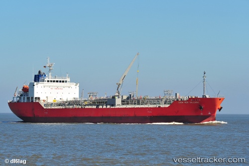
Chem New Orleans
Current StatusWhere is the vessel?
Chem New Orleans is currently in Near Quintana, based on AIS data received less than 1h ago.
Latest AIS update:
Current position: 28.94347° N, 95.31699° W (Near Quintana)
Average speed (last 7 days): Loading…
Average speed (last 30 days): Loading…
Vessel profile: Chem New Orleans is a Chemical Oil Products Tanker with dimensions 24m x 145m.
This page combines live AIS, route history, probable destination signals, nearby traffic, and port activity for practical vessel monitoring.
The current position of vessel Chem New Orleans is 28.94347 lat / -95.31699 lng. Updated: 2026-05-02 21:25:05 UTCNearest reference points:
- Near Quintana
- Near Texas City
- Near Clear Lake Shores
Details:
Live Vessel Chem New Orleans Analytics (details, animations, etc.)
Recent AIS points (UTC):
2026-05-02 18:01:05 UTC · 28.94340, -95.31698 · SOG 0 kn · COG 107°2026-05-02 19:52:05 UTC · 28.94344, -95.31701 · SOG 0 kn · COG 107°
2026-05-02 20:01:05 UTC · 28.94343, -95.31696 · SOG 0 kn · COG 107°
2026-05-02 21:25:05 UTC · 28.94347, -95.31699 · SOG 0 kn · COG 107°