 vesseltracker.com
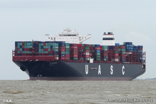
 AL NASRIYAH
Current Status
Where is the vessel?
AL NASRIYAH is currently in 138 nm E of Abakaliki, based on AIS data received about 7h ago.
Latest AIS update:
Current position: 5.87261° N, 88.27265° E (138 nm E of Abakaliki)
Average speed (last 7 days): Loading…
Average speed (last 30 days): Loading…
Vessel profile: AL NASRIYAH is a Cargo A with dimensions m x m.
This page combines live AIS, route history, probable destination signals, nearby traffic, and port activity for practical vessel monitoring.
The current position of vessel AL NASRIYAH is 5.87261 lat / 88.27265 lng. Updated: 2026-04-28 23:38:54 UTCNearest reference points:
- 243 nm E of Abakaliki
- 23 nm S of Abakaliki
Currently sailing under the flag of Germany ![]()
Details:
Live Vessel AL NASRIYAH Analytics (details, animations, etc.)
Recent AIS points (UTC):
2026-04-28 23:38:54 UTC · 5.87261, 88.27265 · SOG 15.1 kn · COG 88°2026-04-28 23:38:54 UTC · 5.87261, 88.27265 · SOG 15.1 kn · COG 88°
2026-04-28 23:38:54 UTC · 5.87261, 88.27265 · SOG 15.1 kn · COG 88°
2026-04-28 23:38:54 UTC · 5.87261, 88.27265 · SOG 15.1 kn · COG 88°