 vesseltracker.com
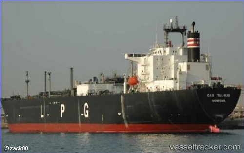
 GAS QUILA
Current Status
Where is the vessel?
GAS QUILA is currently in 356 nm S of Volcano, based on AIS data received about 1h ago.
Latest AIS update:
Current position: 32.72245° N, 131.55811° W (356 nm S of Volcano)
Average speed (last 7 days): Loading…
Average speed (last 30 days): Loading…
Vessel profile: GAS QUILA is a Tanker with dimensions m x m.
This page combines live AIS, route history, probable destination signals, nearby traffic, and port activity for practical vessel monitoring.
The current position of vessel GAS QUILA is 32.72245 lat / -131.55811 lng. Updated: 2026-05-14 16:42:49 UTCNearest reference points:
- Open sea, approx. 402 nm off the nearest listed port
- Open sea, approx. 405 nm off the nearest listed port
- Open sea, approx. 401 nm off the nearest listed port
Currently sailing under the flag of Indonesia ![]()
Details:
Live Vessel GAS QUILA Analytics (details, animations, etc.)
Recent AIS points (UTC):
2026-05-14 13:47:49 UTC · 33.01372, -132.38208 · SOG 15.5 kn · COG 112°2026-05-14 14:29:49 UTC · 32.94093, -132.18246 · SOG 15.6 kn · COG 112°
2026-05-14 15:53:36 UTC · 32.80338, -131.78674 · SOG 15.4 kn · COG 110°
2026-05-14 16:42:49 UTC · 32.72245, -131.55811 · SOG 15.2 kn · COG 110°